

Our services, clearly explained.
Discover what we do for your land, what you receive and how to start your project with us.
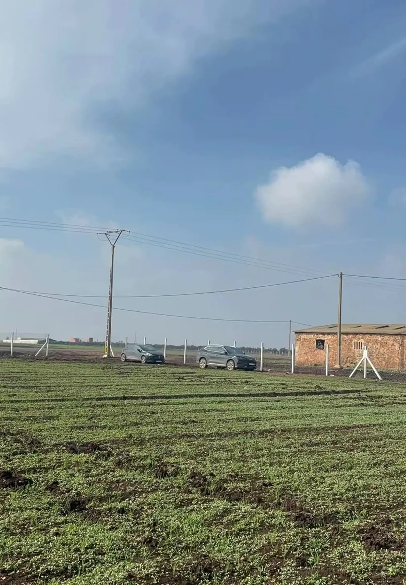
Compare our 10 services. Each assignment is tailored to your site and objectives.
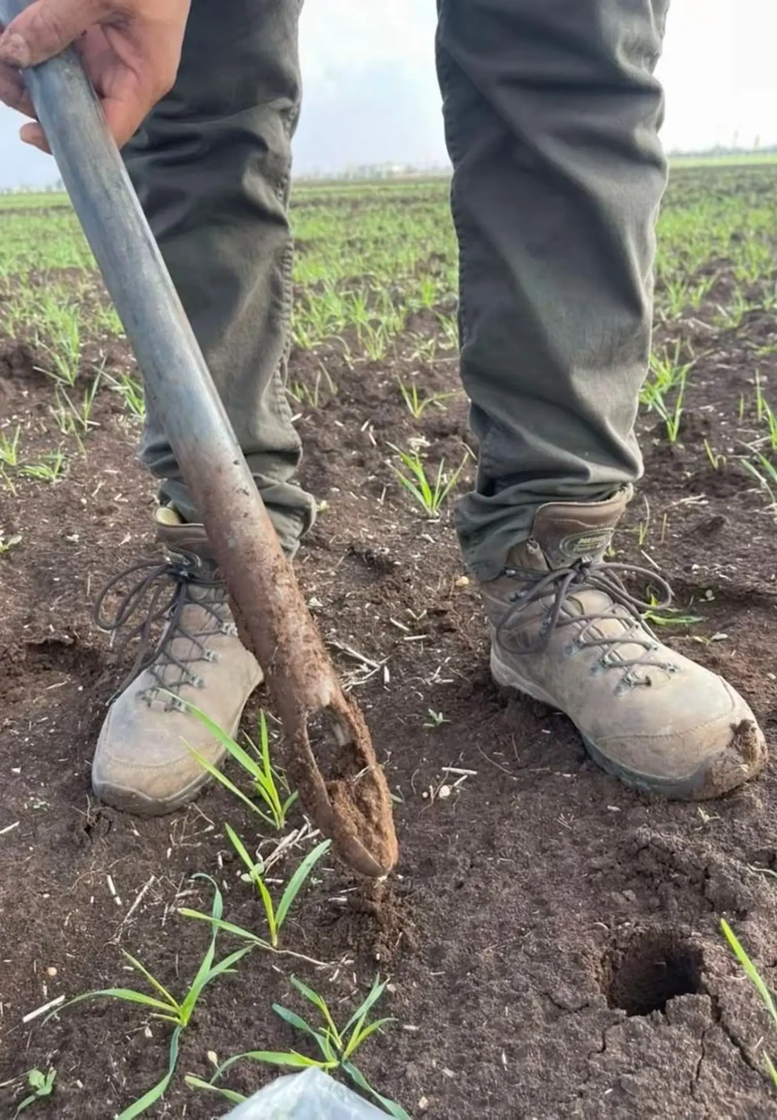
Soil & irrigation water analysis
Check the quality of your soil and water, then adapt your fertilisation.
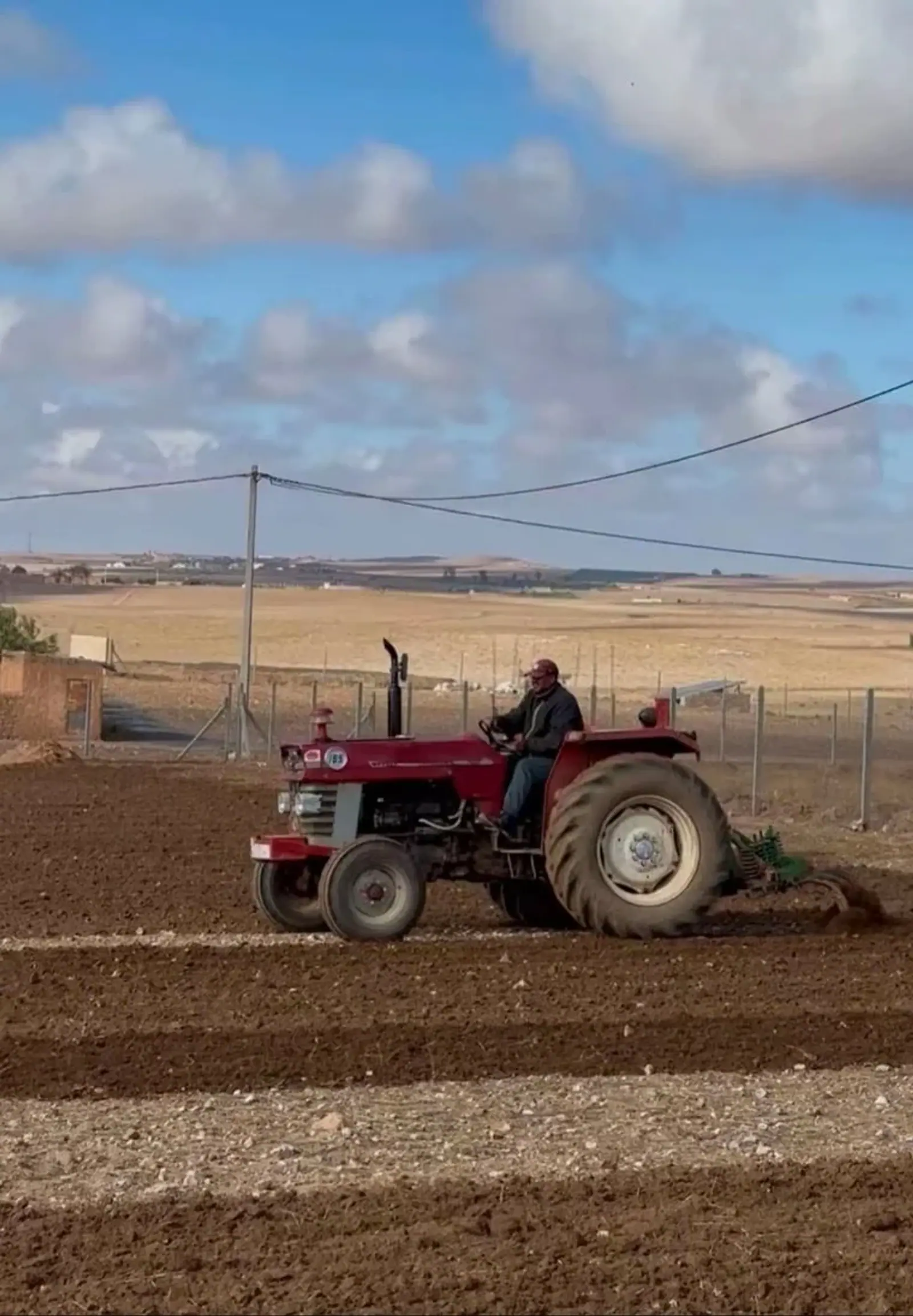
Agronomic diagnosis & fertigation
Understand crop problems and prepare a tailored nutrition programme.
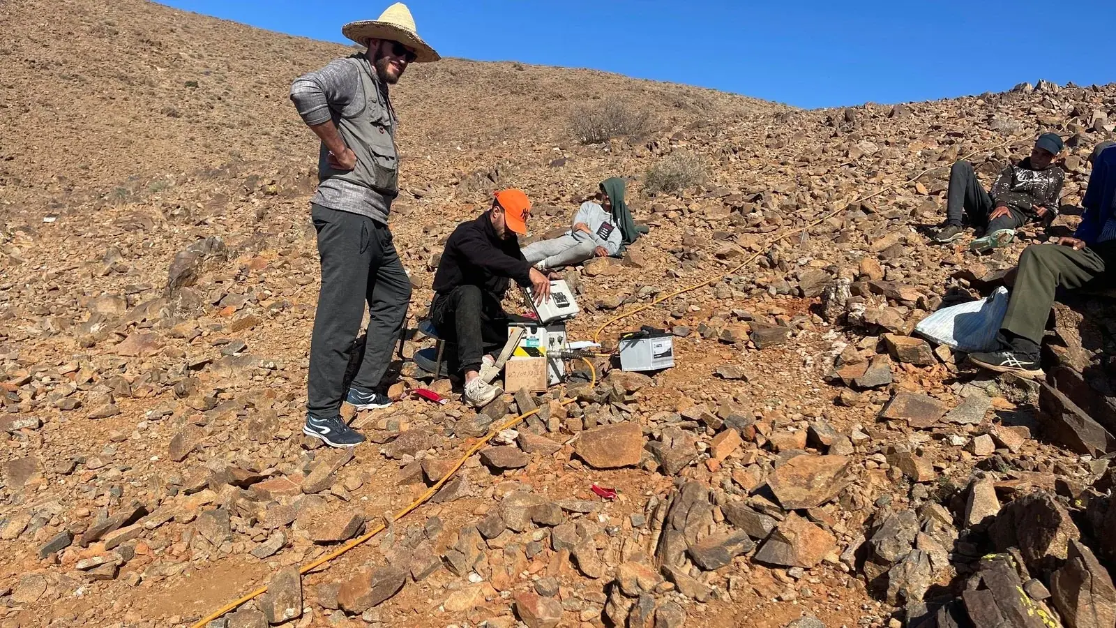
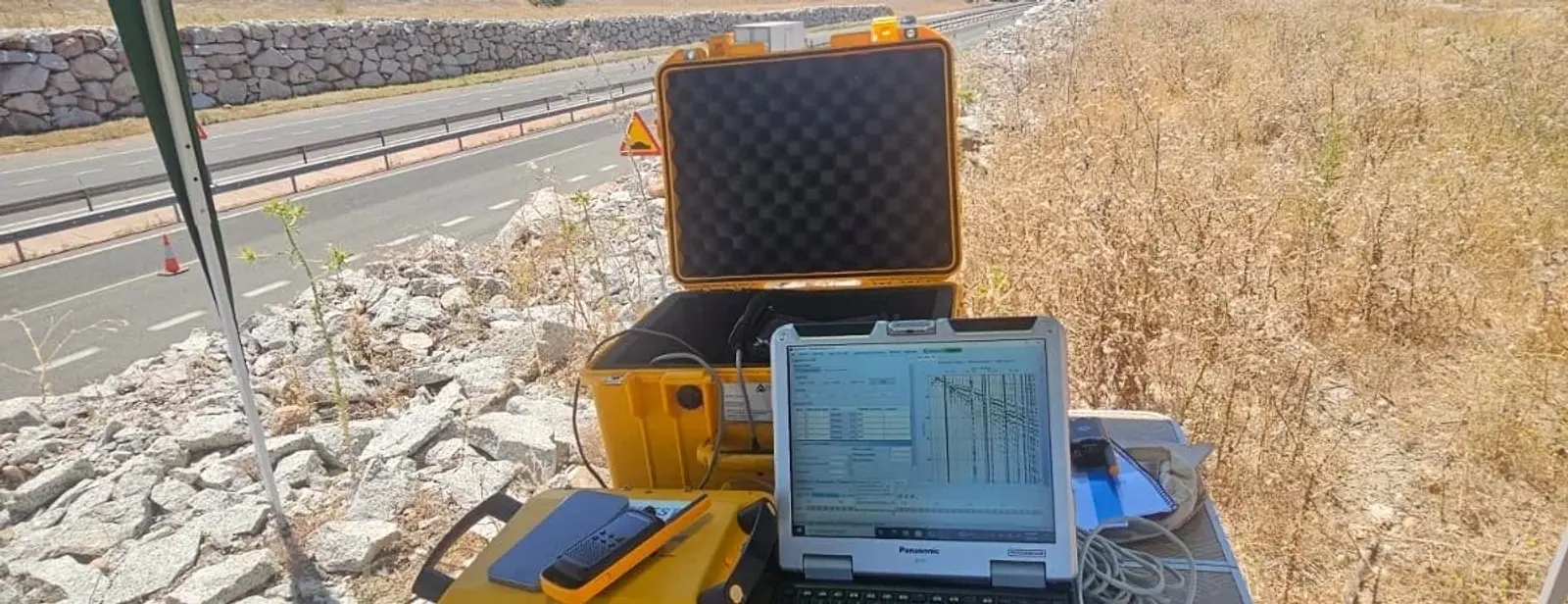
Geophysical surveying
Locate underground structures, cavities and networks before starting work.
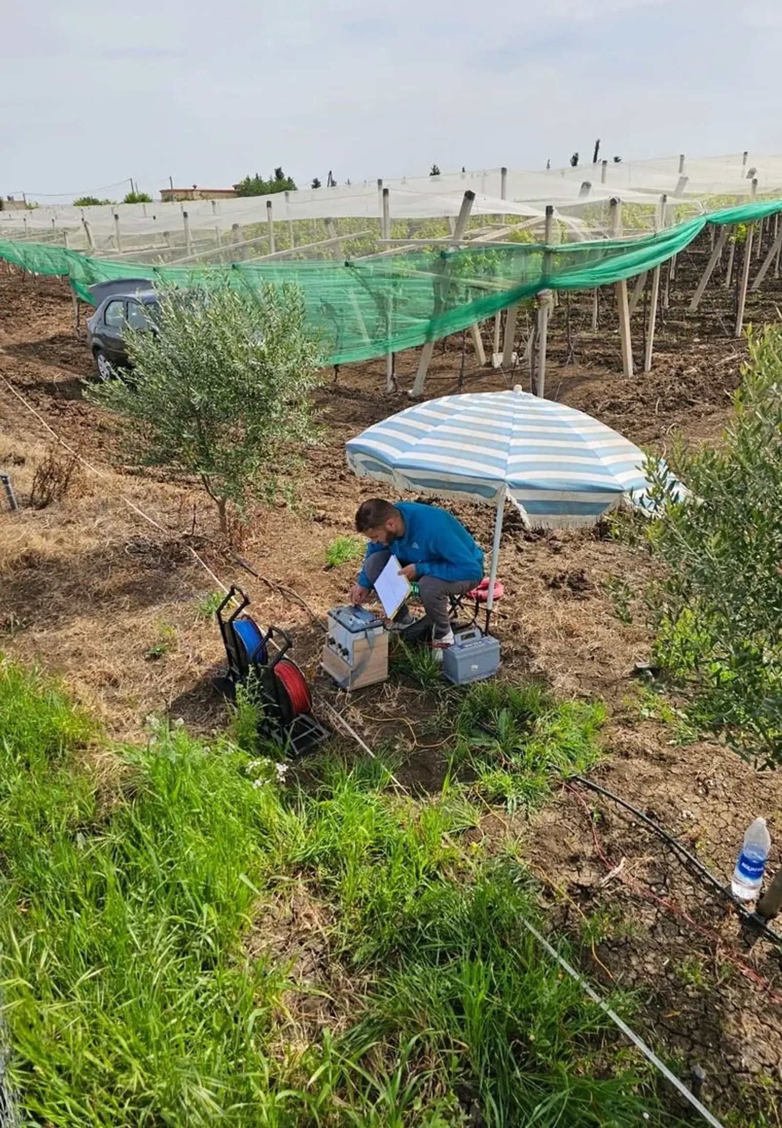
Hydrogeology & borehole siting
Use subsurface measurements to guide drilling location and target depth.
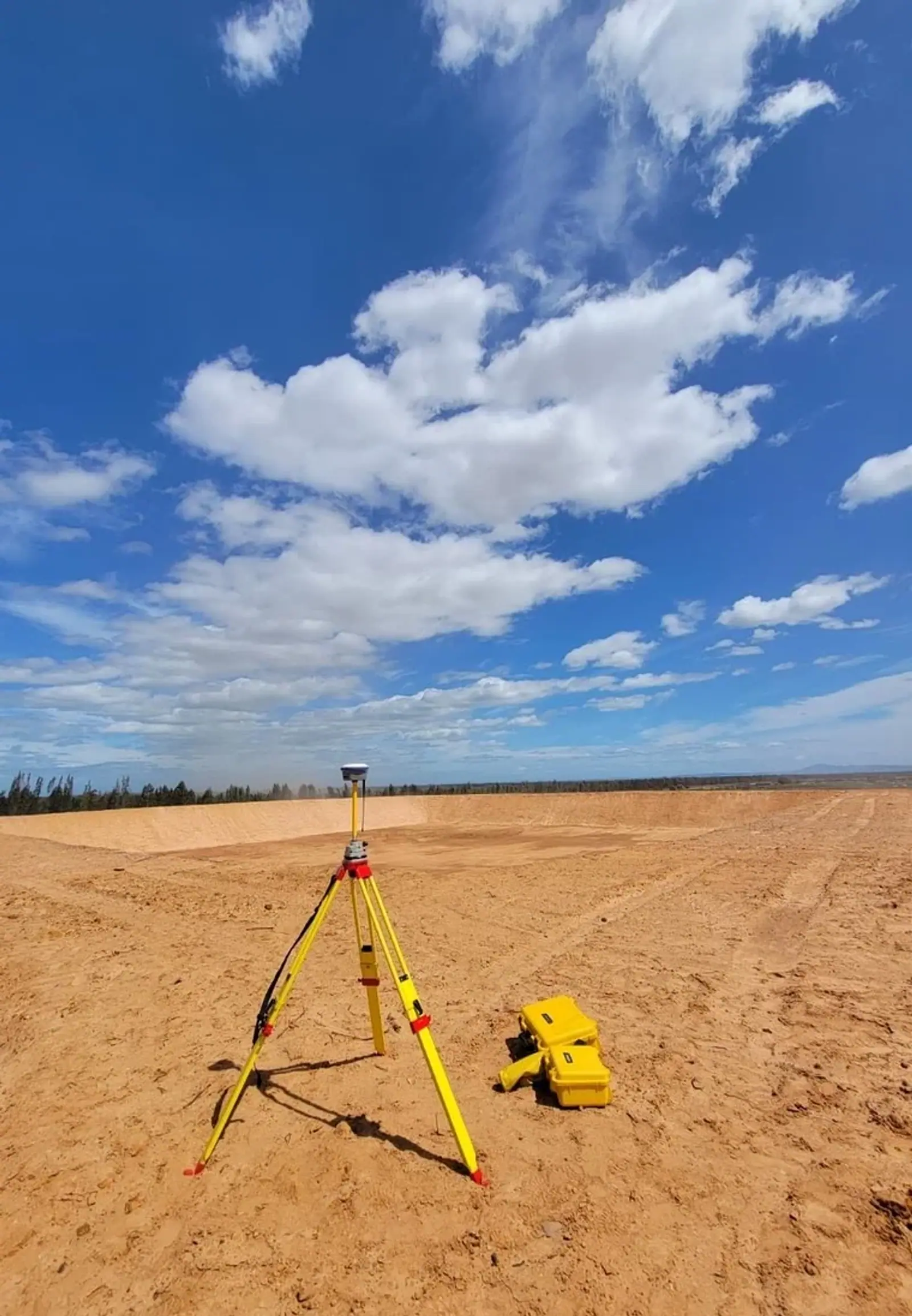
Irrigation system design
Design irrigation suited to your crops, your terrain and your water supply.
Equipment & farm infrastructure
Equip your farm with reservoirs, irrigation, fencing and construction support.
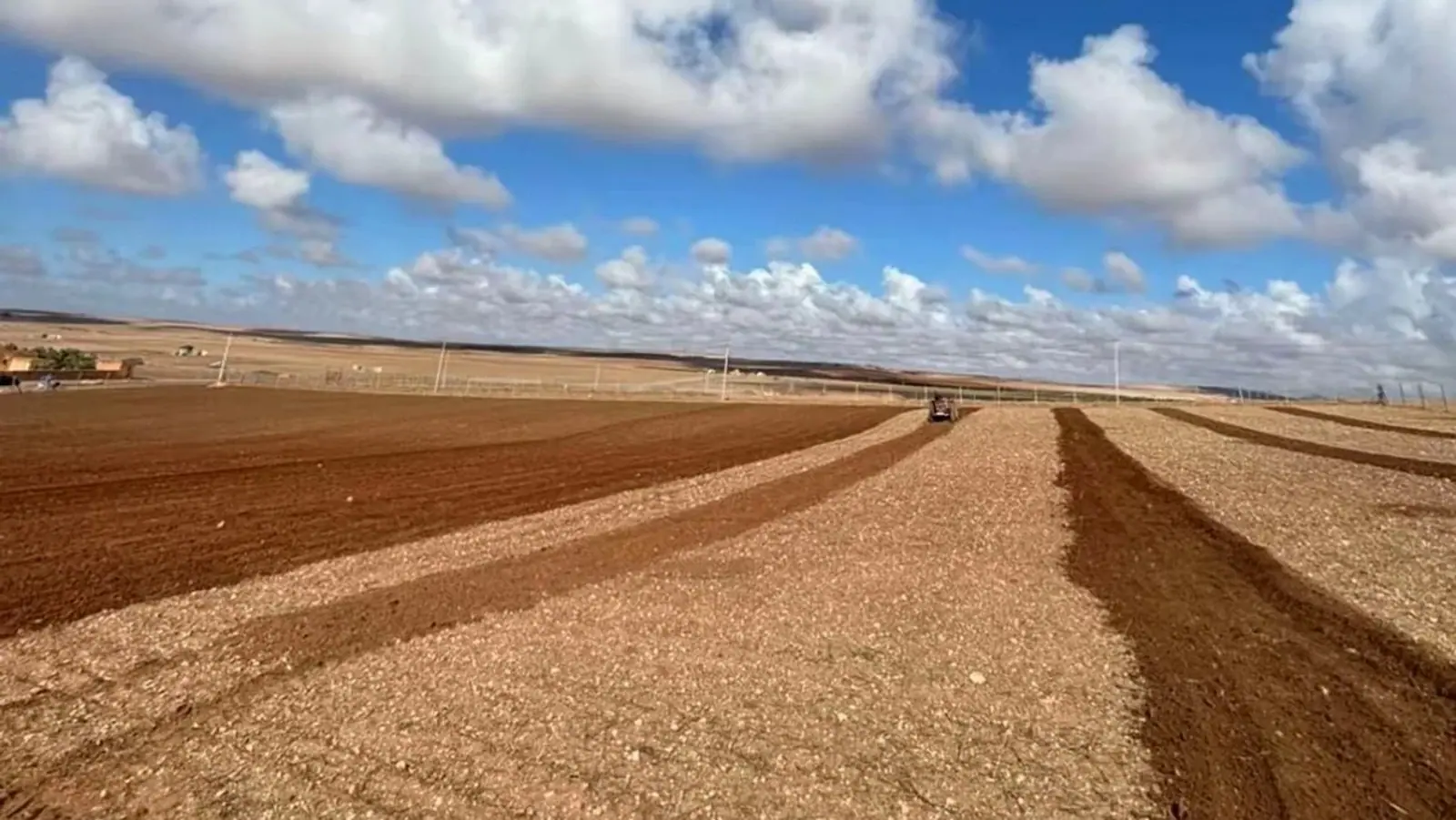
Feasibility & investment studies
Assess project costs, profitability and risks before investing.
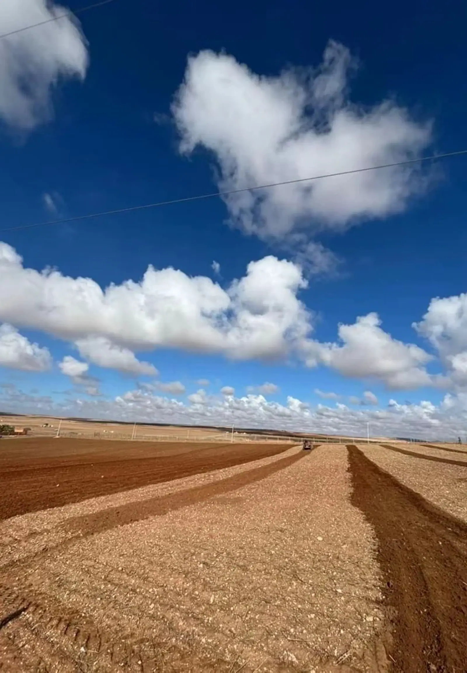
Agricultural land & brokerage
Assess agricultural land before buying, selling or improving its value.
Public tender assistance
Prepare a complete tender response, from the technical proposal to the quotation.
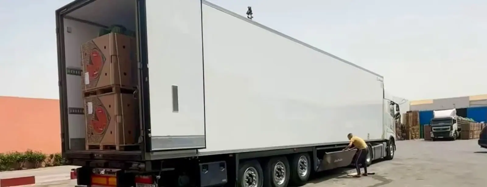
Agricultural import & export
Prepare your international trade: markets, certifications, logistics and customs.
Every assignment receives a personalised quote based on your site and objectives.
See beyond the surface.
Agriculture, construction, quarries and utilities: our engineers acquire and interpret your subsurface data themselves.
Vertical electrical sounding
A vertical reading of ground layers to inform the target depth of an investigation.
Electrical resistivity tomography
Continuous 2D profiles reveal faults, contacts, heterogeneity and wet zones.
Ground-penetrating radar
High-resolution near-surface detection of utilities, voids and structures.
Your questions, answered.
How does a service differ from a library study?
A service is a tailored assignment, scoped in a quote and performed for your site. A library study is an existing document whose description and price you can review before purchasing.
How do I start an assignment?
Send the GPS location, site area and your objective. We define the scope, methodology and timing, then provide a personalised quote with no obligation.
Do you work across Morocco and Africa?
Yes. Our teams travel with their equipment throughout Morocco and Africa. Travel and logistics costs are specified in your quote.
What documents will I receive?
Depending on the assignment: a documented PDF report, results and interpretation, GPS coordinates, plans and calculation notes. Investment studies include a 20-year Excel financial model.
Does a survey guarantee a productive borehole?
No. Geophysical measurements help characterise the ground and inform borehole location and depth. They support decisions without guaranteeing water presence or yield.
A plot. An ambition. Let’s start a conversation.
Send us your site location, area and objectives. We will respond with a methodology and a detailed quote.