

Your land. A well-prepared project.
Agricultural consultancy in Morocco: soil, water, subsurface and farm projects. Analyses and recommendations tailored to your land.
Find or list landNew
Buyers and sellers: submit your application in 3 steps, with a map.
- 10 complementary services
- 3 areas of expertise
- 1 partner, from start to finish
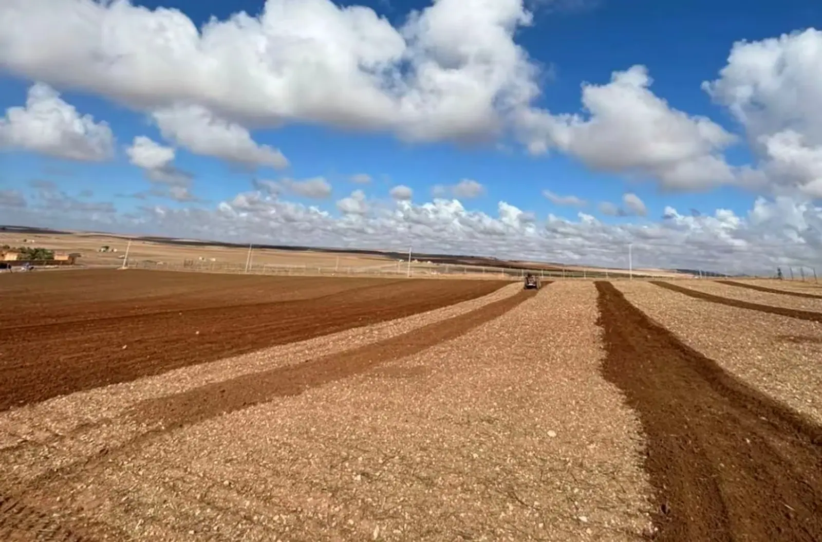
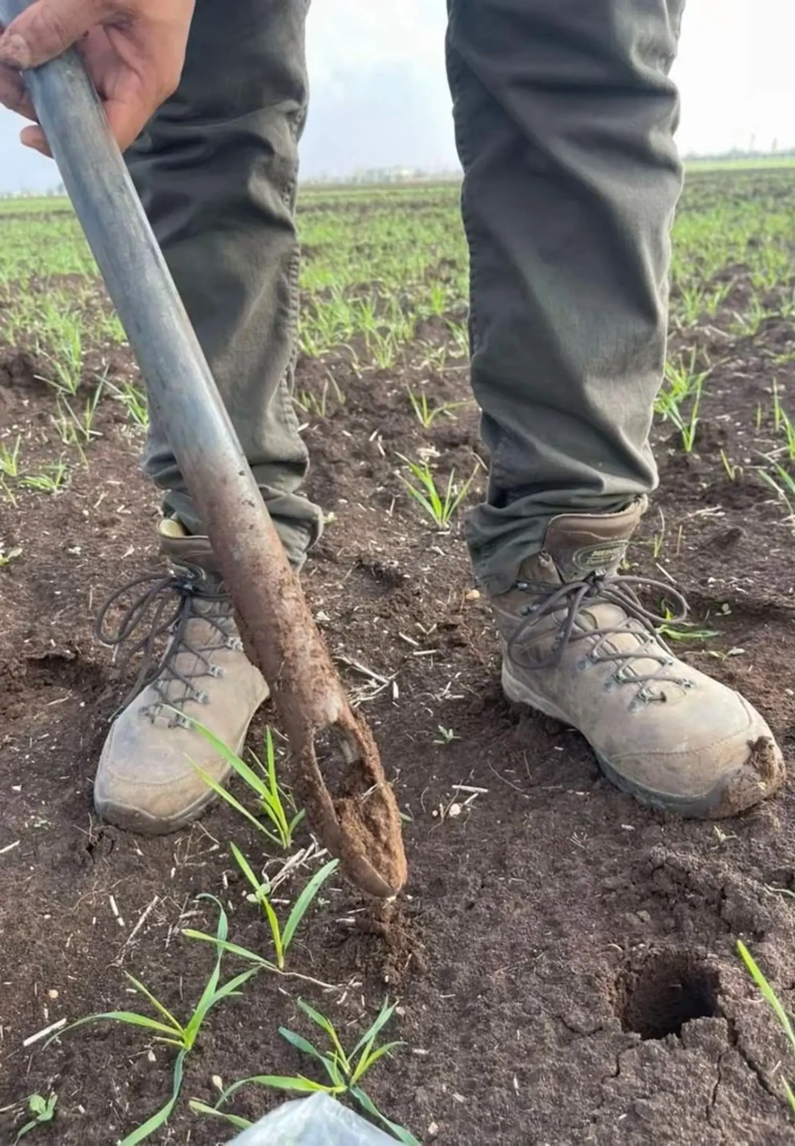
Your needs are our starting point.
Choose an objective to find the relevant expertise.
What does your project need?
Choose an area. Each service explains our work and the documents you receive.
Agronomy & soilSoil & irrigation water analysisCheck the quality of your soil and water, then adapt your fertilisation.Explore this service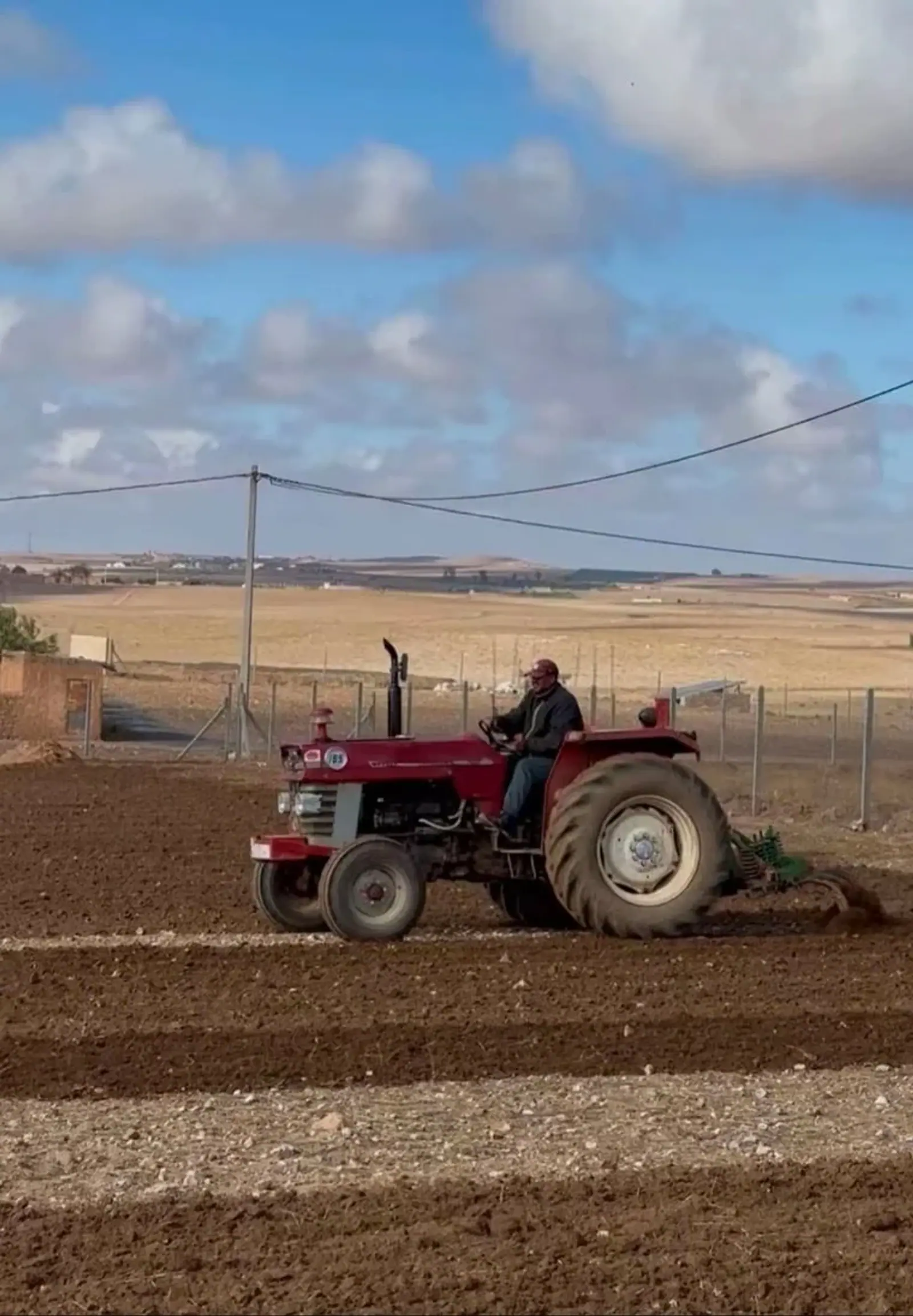 Agronomy & soilAgronomic diagnosis & fertigationUnderstand crop problems and prepare a tailored nutrition programme.Explore this service
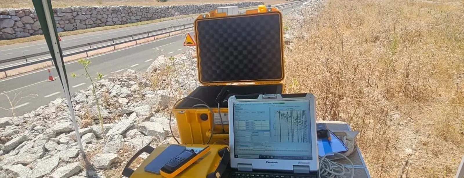
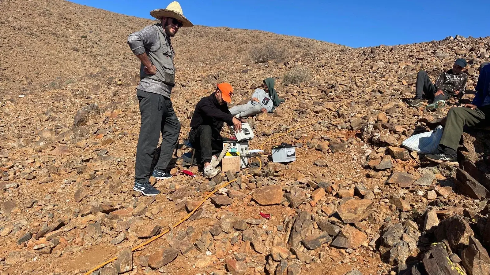 Applied geophysicsGeophysical surveyingLocate underground structures, cavities and networks before starting work.Explore this service
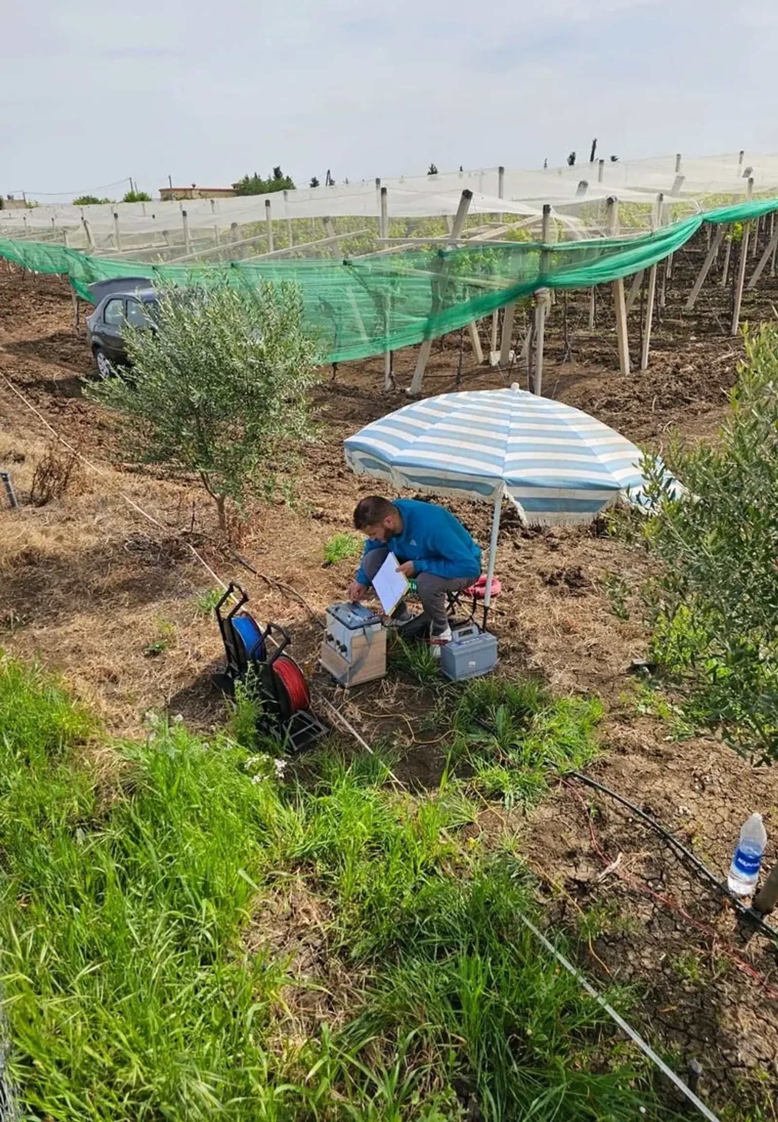 Applied geophysicsHydrogeology & borehole sitingUse subsurface measurements to guide drilling location and target depth.Explore this service
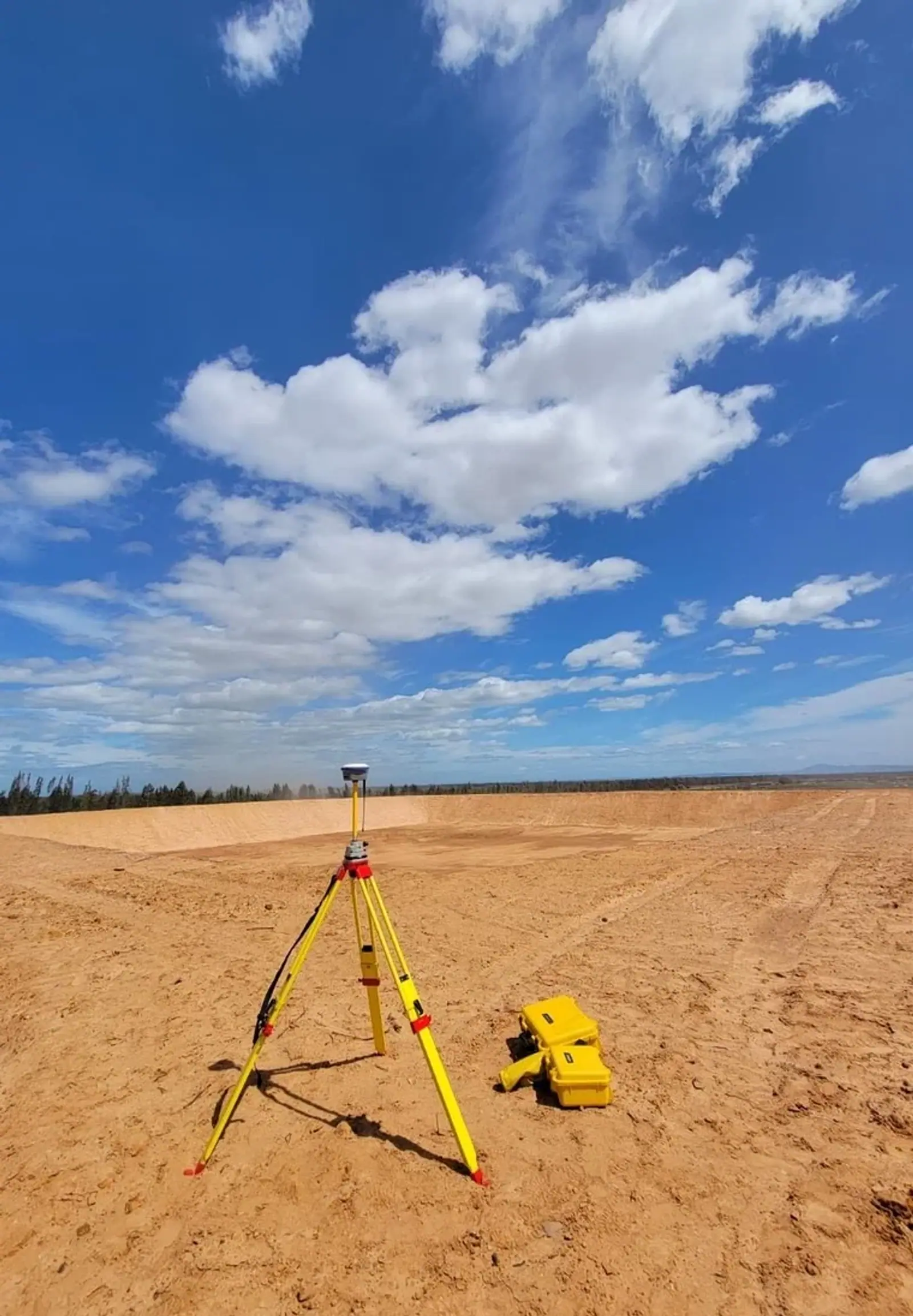 Engineering & projectsIrrigation system designDesign irrigation suited to your crops, your terrain and your water supply.Explore this service
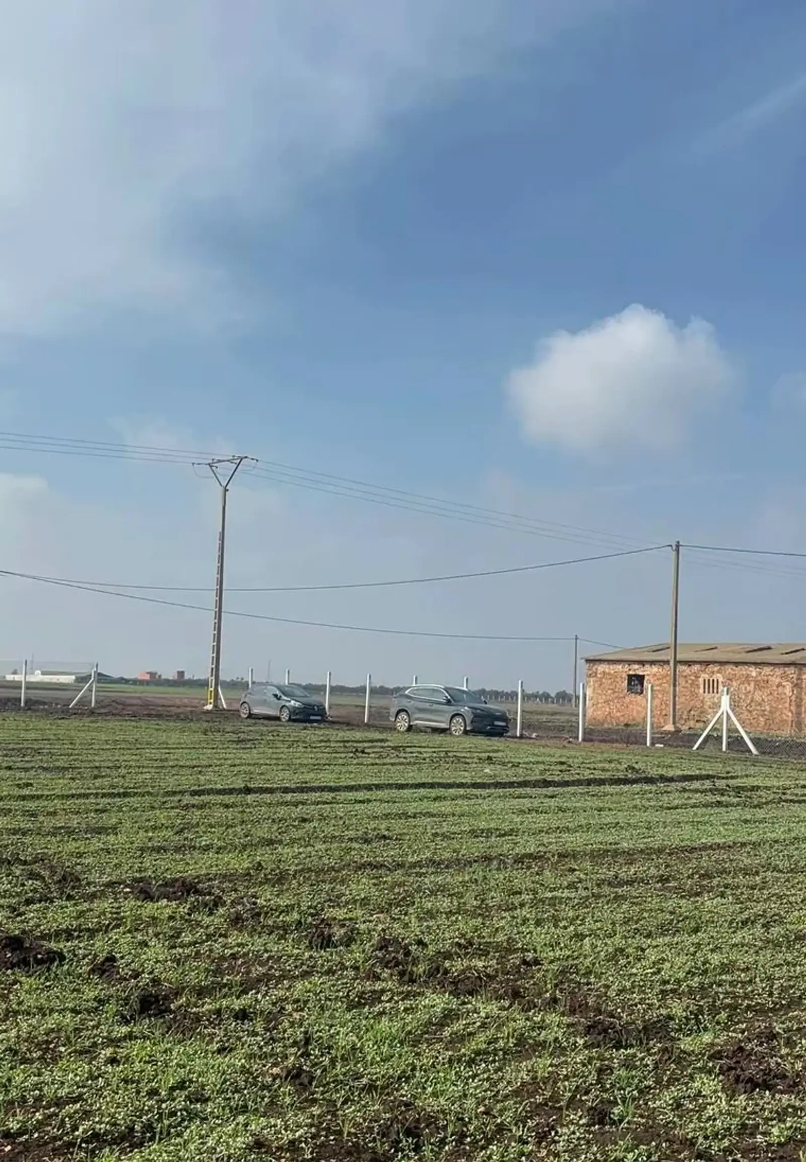 Engineering & projectsEquipment & farm infrastructureEquip your farm with reservoirs, irrigation, fencing and construction support.Explore this service
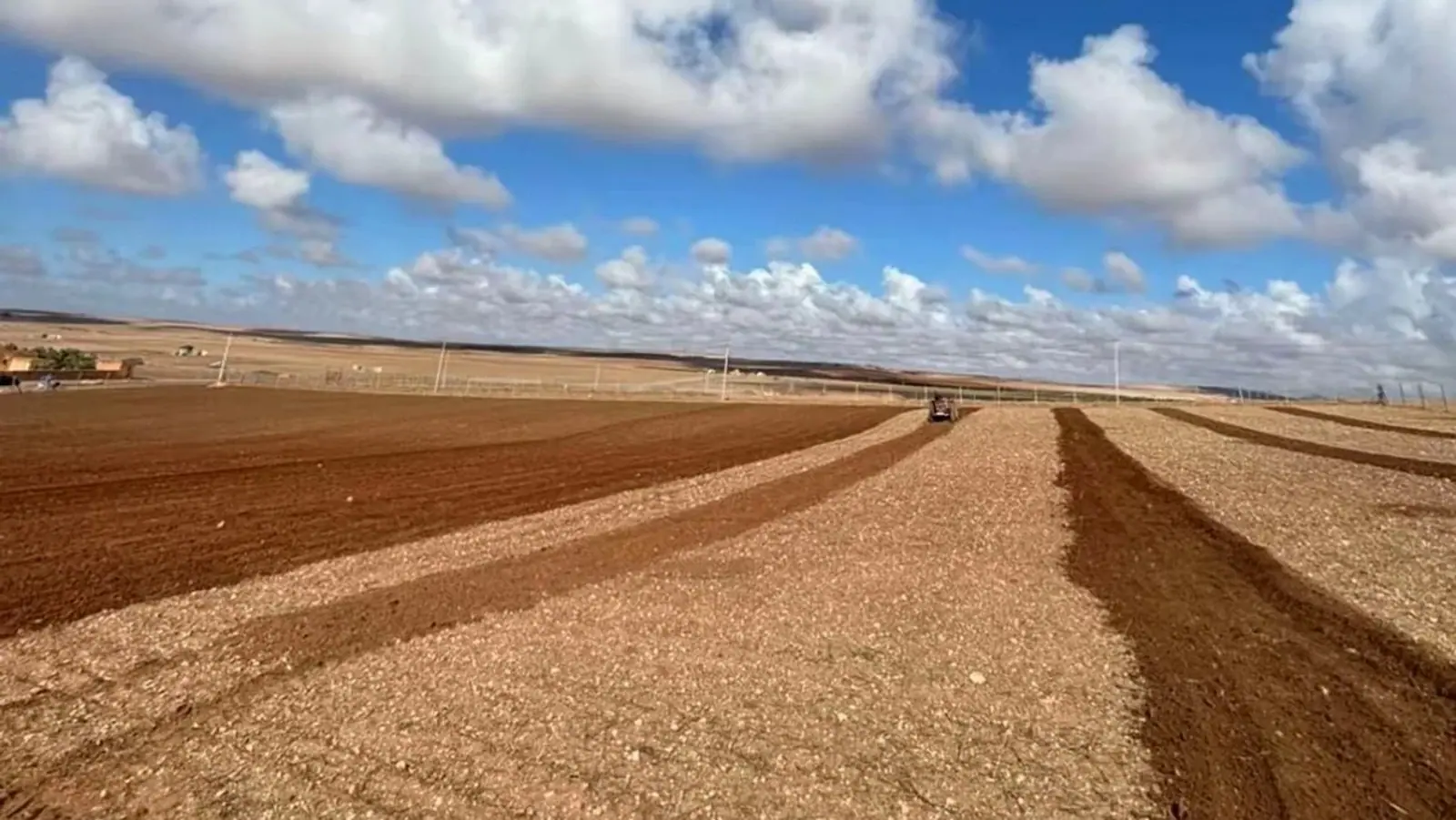 Engineering & projectsFeasibility & investment studiesAssess project costs, profitability and risks before investing.Explore this service
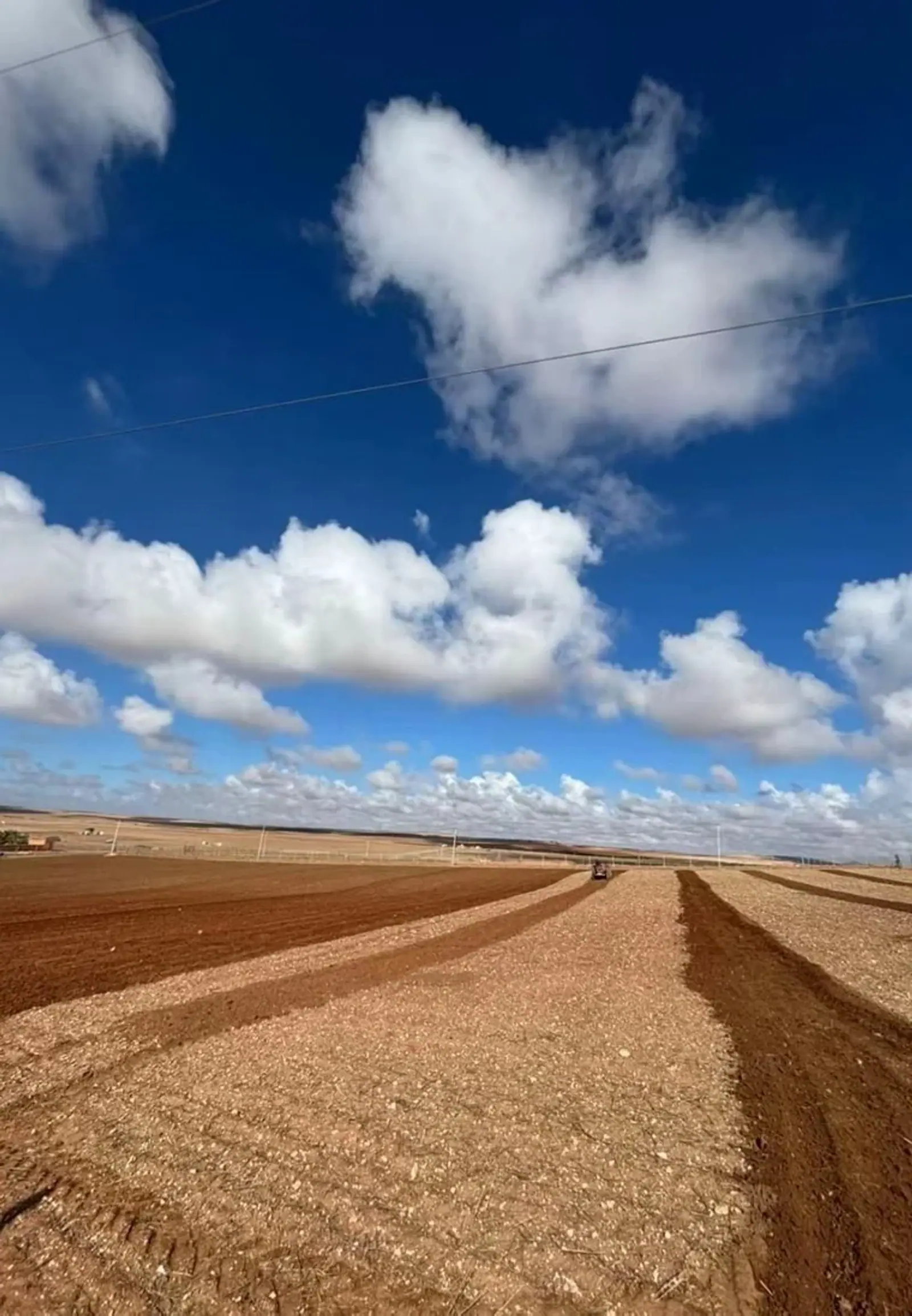 Engineering & projectsAgricultural land & brokerageAssess agricultural land before buying, selling or improving its value.Explore this service
 Engineering & projectsPublic tender assistancePrepare a complete tender response, from the technical proposal to the quotation.Explore this service
A clear path, from the first conversation to your report.
We define your needs, take the relevant measurements and explain your results.
- Project scoping
From first contact — Your needs
We discuss your site, your objective and the scope of the assignment.
- Fieldwork
After 2–7 days — The fieldwork
Our team takes the samples, surveys or measurements your project needs.
- Analysis
After 7–15 days — Your report
You receive the analyses, plans and recommendations agreed in the quote.
- Delivery
After about 15 days — The next steps
We explain the results and help you put them into practice.
Indicative timing depends on site area, accessibility and the selected laboratory.
Discuss my project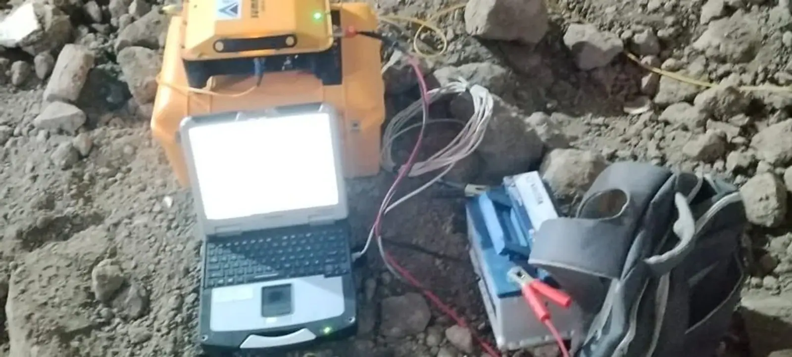
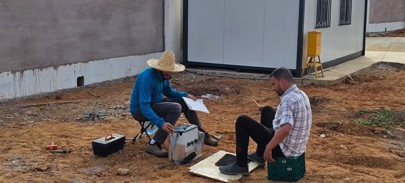
Fieldwork with rigour. Numbers you can defend.
One dedicated partner
From analysis to implementation, our expertise connects and your data stays consistent.
Measurement before opinion
Recommendations are based on observations, field measurements and laboratory analysis.
A complete financial picture
CAPEX, OPEX, NPV, IRR, payback and sensitivity analysis for defensible investment dossiers.
Clearly documented risks
Soil, frost, water resources, permits and markets are assessed before capital is committed.
VES Vertical electrical soundingERT Electrical resistivity tomographyGPR Ground-penetrating radar
Studies ready to explore.
Existing documents to buy and download. Review the subject, contents and price before choosing.


Your questions, answered.
A plot. An ambition.
Send us your site location, area and objectives. We will respond with a methodology and a detailed quote.
Let’s discuss your projectChat on WhatsAppHow does a service differ from a library study?
A service is a tailored assignment, scoped in a quote and performed for your site. A library study is an existing document whose description and price you can review before purchasing.
How do I start an assignment?
Send the GPS location, site area and your objective. We define the scope, methodology and timing, then provide a personalised quote with no obligation.
Do you work across Morocco and Africa?
Yes. Our teams travel with their equipment throughout Morocco and Africa. Travel and logistics costs are specified in your quote.
What documents will I receive?
Depending on the assignment: a documented PDF report, results and interpretation, GPS coordinates, plans and calculation notes. Investment studies include a 20-year Excel financial model.
Does a survey guarantee a productive borehole?
No. Geophysical measurements help characterise the ground and inform borehole location and depth. They support decisions without guaranteeing water presence or yield.
A plot. An ambition. Let’s start a conversation.
Our teams travel with their equipment throughout Morocco and Africa. Travel and logistics are included in your quote.