

From an agricultural idea to a measurable project.
INNOVAGOT is an engineering firm specialising in agricultural project engineering, applied geophysics and investor support, across Morocco and Africa.
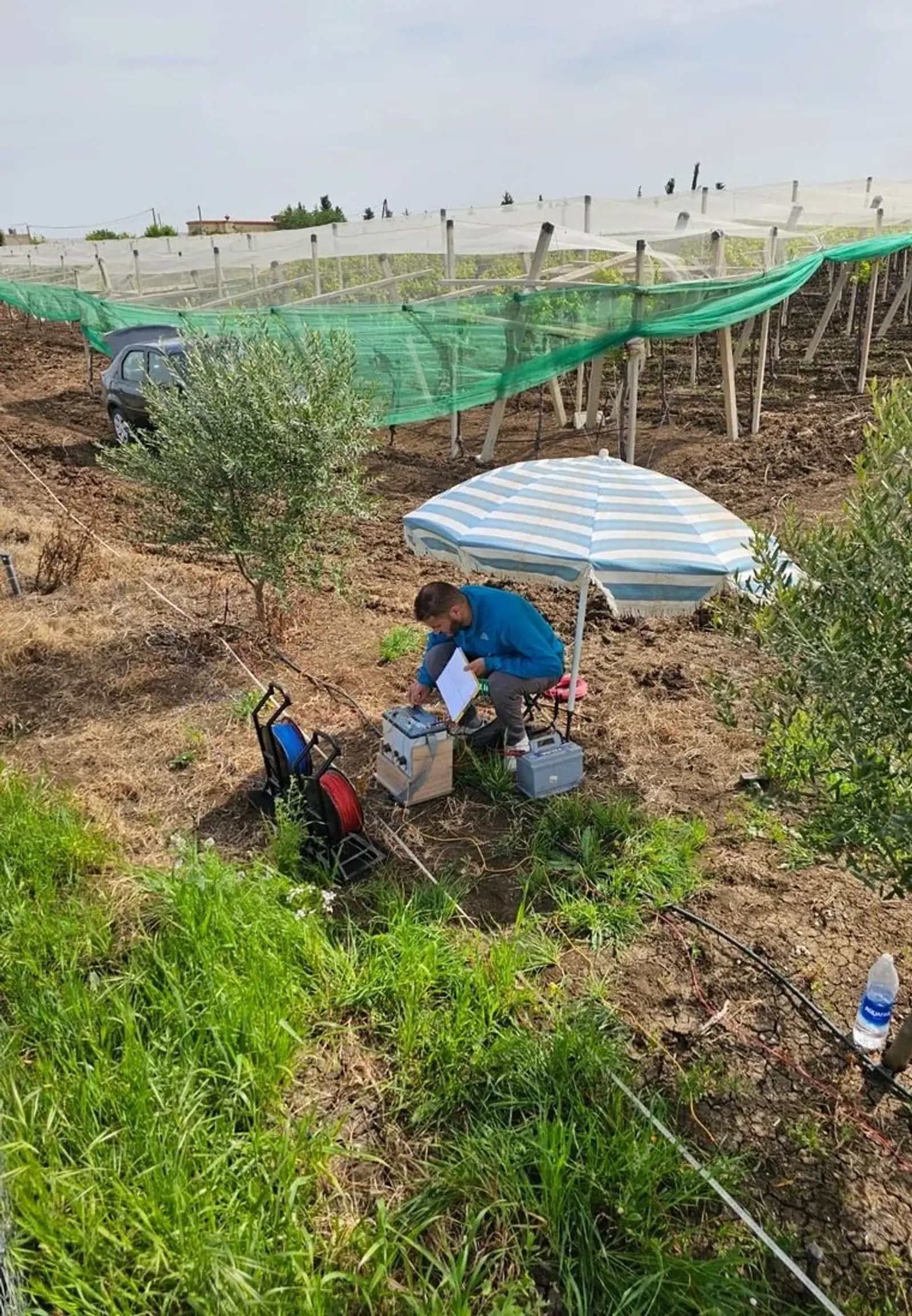
Our purpose is to replace uncertainty with evidence. Soil and water analysis, subsurface characterisation, technical design and financial modelling form one continuous decision process.
« An agricultural project is judged by the strength of its numbers, as much as its ambition. »
Agronomy & soil
Soil and water testing, plot diagnosis, fertigation and crop management.
Applied geophysics
VES, ERT and GPR for hydrogeology, civil engineering, quarries and buried utilities.
Engineering & projects
Irrigation, equipment, economic feasibility, land, public tenders and export.
A clear path, from the first conversation to your report.
We define your needs, take the relevant measurements and explain your results.
- From first contactProject scoping
Your needs
We discuss your site, your objective and the scope of the assignment.
- After 2–7 daysFieldwork
The fieldwork
Our team takes the samples, surveys or measurements your project needs.
- After 7–15 daysAnalysis
Your report
You receive the analyses, plans and recommendations agreed in the quote.
- After about 15 daysDelivery
The next steps
We explain the results and help you put them into practice.
Indicative timing depends on site area, accessibility and the selected laboratory.
Fieldwork with rigour. Numbers you can defend.
One dedicated partner
From analysis to implementation, our expertise connects and your data stays consistent.
Measurement before opinion
Recommendations are based on observations, field measurements and laboratory analysis.
A complete financial picture
CAPEX, OPEX, NPV, IRR, payback and sensitivity analysis for defensible investment dossiers.
Clearly documented risks
Soil, frost, water resources, permits and markets are assessed before capital is committed.
See beyond the surface.
Agriculture, construction, quarries and utilities: our engineers acquire and interpret your subsurface data themselves.
Vertical electrical sounding
A vertical reading of ground layers to inform the target depth of an investigation.
Electrical resistivity tomography
Continuous 2D profiles reveal faults, contacts, heterogeneity and wet zones.
Ground-penetrating radar
High-resolution near-surface detection of utilities, voids and structures.
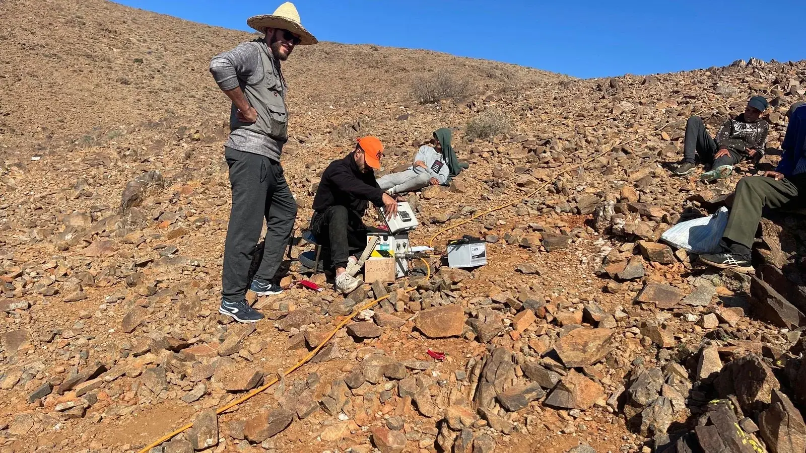
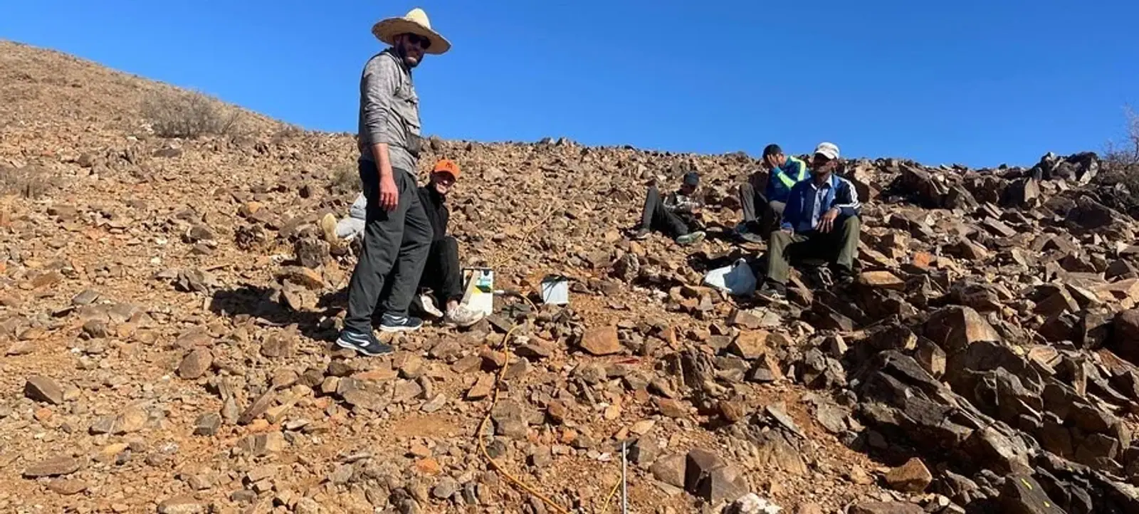
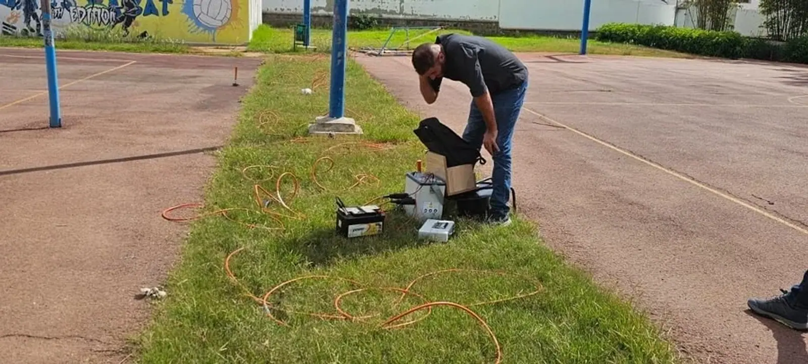
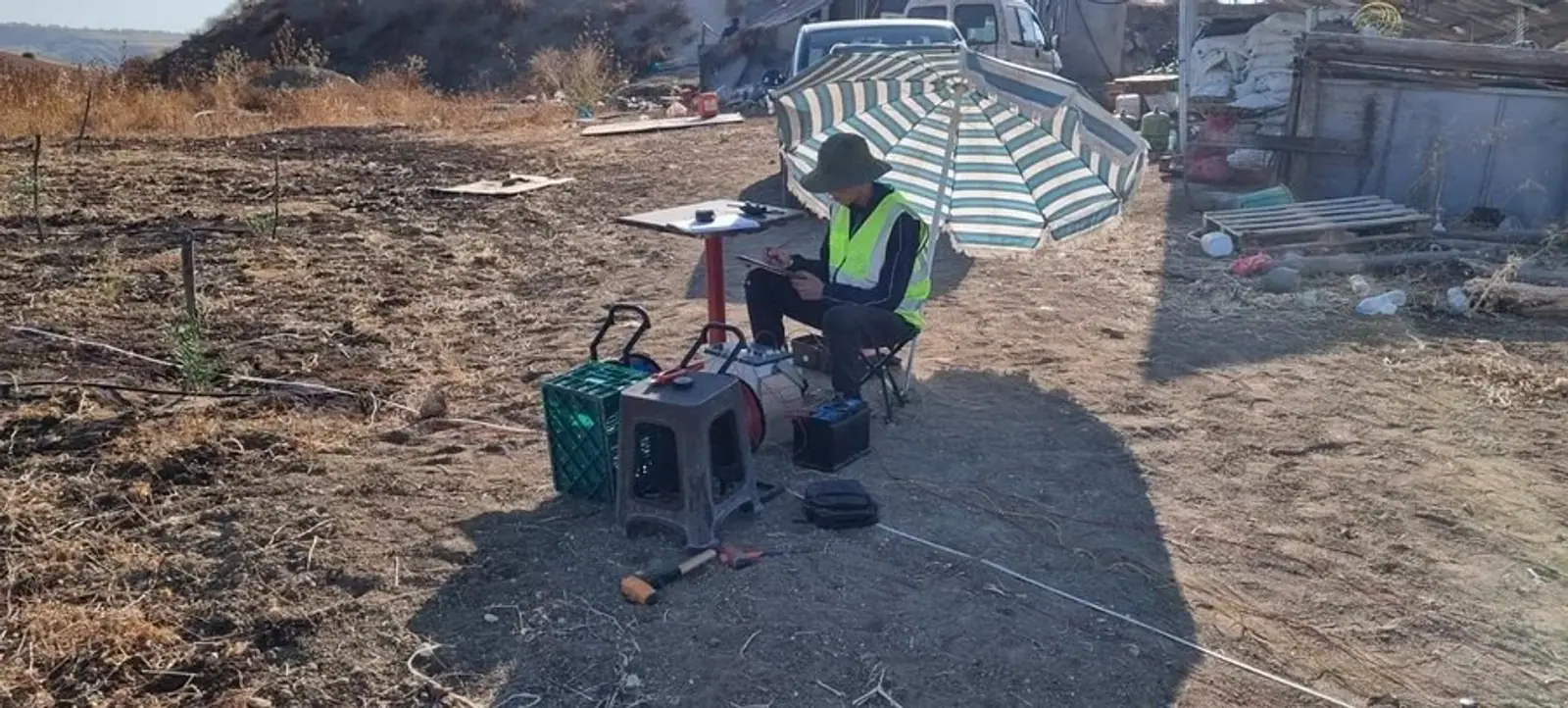
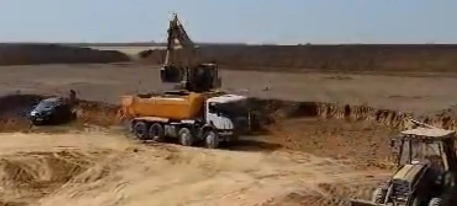
Our expertise, in action.
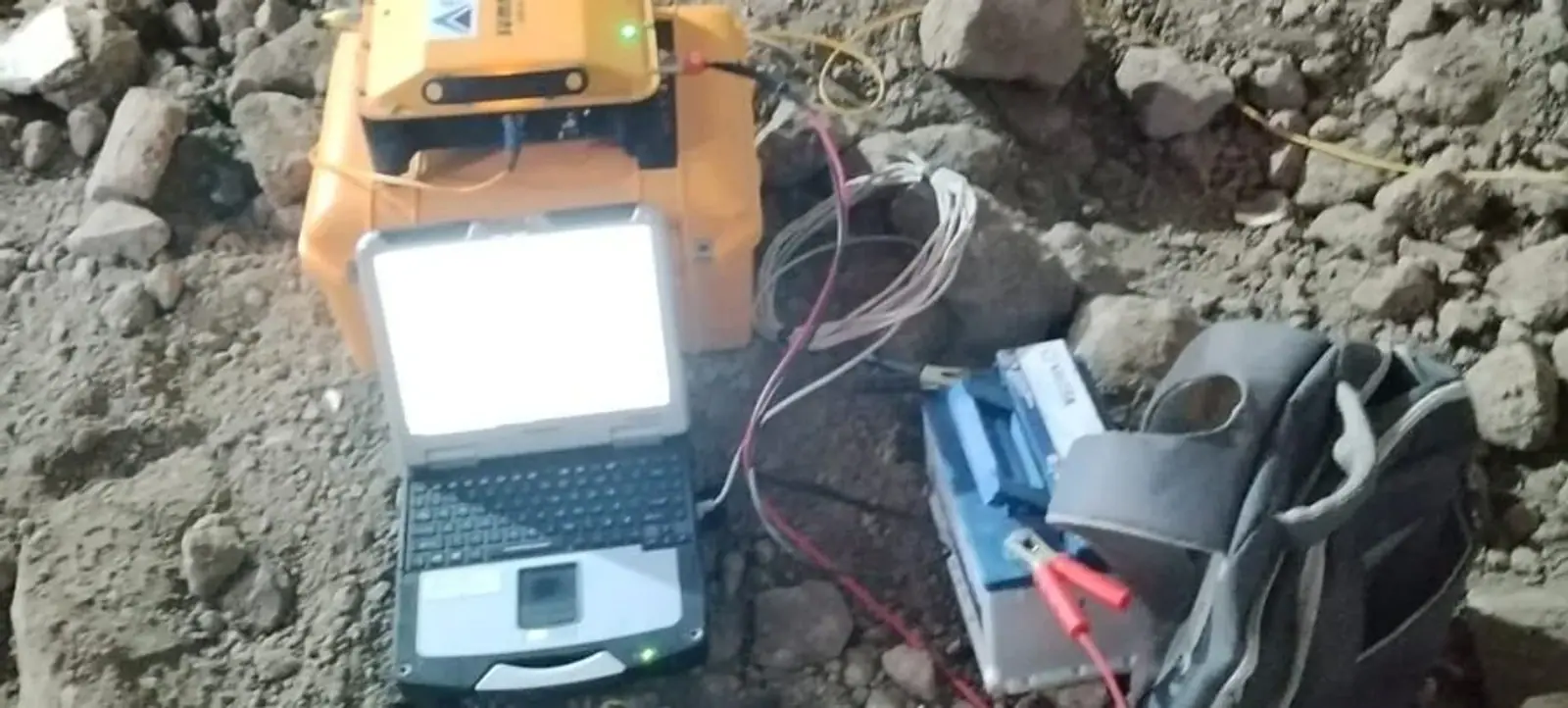
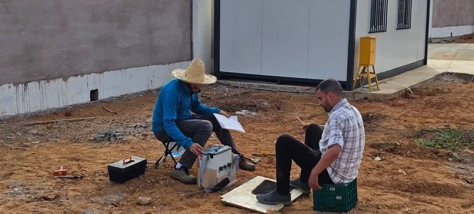
Photographs of our interventions, taken from our service presentation.
Working across Morocco. Ready to travel.
Our teams travel with their equipment throughout Morocco and Africa. Travel and logistics are included in your quote.
Working across Morocco & Africa
Our expertise, at your fingertips.
Explore our services, deliverables and technical resources in our company documents.
A plot. An ambition. Let’s start a conversation.
Send us your site location, area and objectives. We will respond with a methodology and a detailed quote.